|
||
|
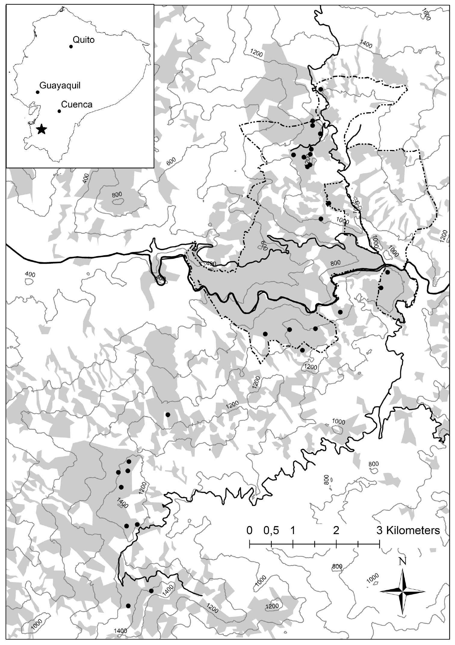
Map of the study area in southwestern Ecuador. Forested areas are shaded grey, whereas white areas represent non-forested areas (mainly cow pastures). The Buenaventura reserve is circled by the dashed line. The bolt black line represents a highway cutting the reserve into a northern and a southern part, while minor roads are indicated by the thin lines. |