|
||
|
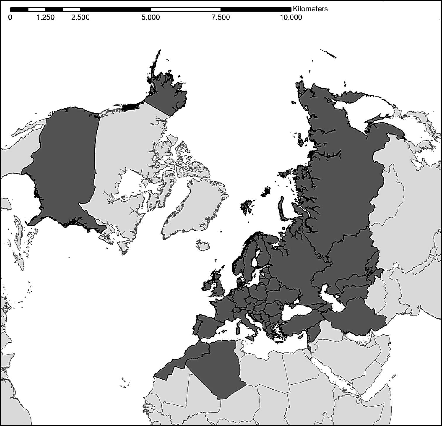
Spatial coverage of the database. Grey countries (46 European countries plus neighbouring countries in Asia, namely Armenia, Azerbaijan, Georgia, Iran, Israel, Kazakhstan, Kyrgyzstan, Lebanon, Russia, Syria, Tajikistan, Turkey, Turkmenistan, and Uzbekistan, plus the African countries Algeria and Morocco) are covered by the database. This map shows the countries in general and not the region where data points are from. This map was created using ArcGIS® software by Esri (www.esri.com) with an European Lambert Azimuthal Equal Area projection. © Esri, all rights reserved. |