|
||
|
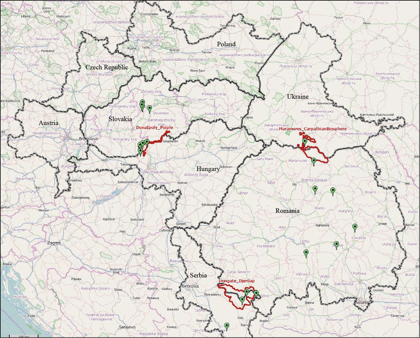
Web-GIS screenshot showing the selected locations (green dots) for the site visit analysis. The red polygons show the Pilot Areas (from http://webgis.eurac.edu/bioregio/). |
|
||||||||
| Part of: Favilli F, Hoffmann C, Elmi M, Ravazzoli E, Streifeneder T (2015) The BioREGIO Carpathians project: aims, methodology and results from the “Continuity and Connectivity” analysis. In: Seiler A, Helldin J-O (Eds) Proceedings of IENE 2014 International Conference on Ecology and Transportation, Malmö, Sweden. Nature Conservation 11: 95–111. https://doi.org/10.3897/natureconservation.11.4424 |