|
||
|
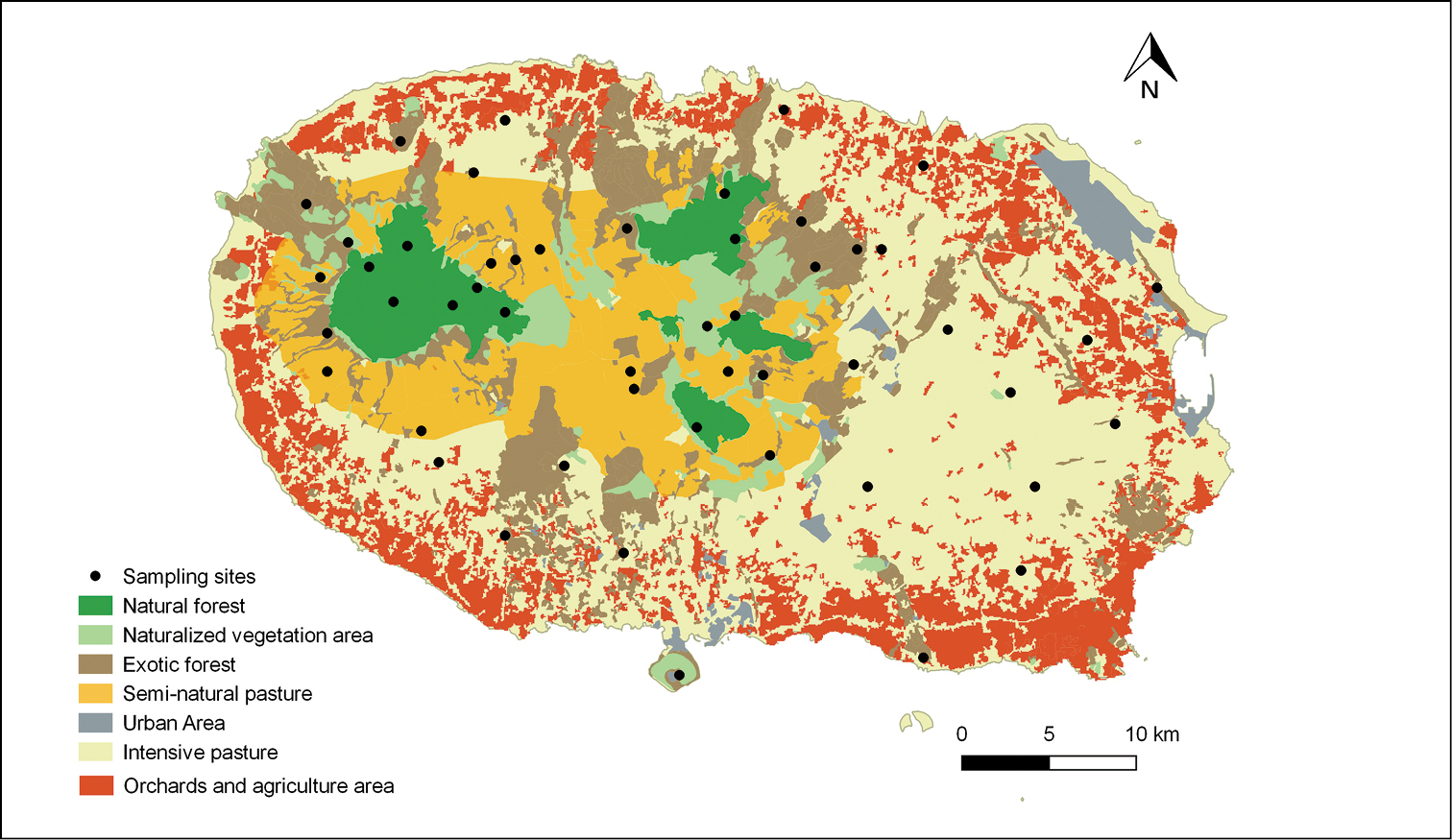
Land use distribution map of Terceira Island with the selected sampling sites as black dots: NatFor (natural forests), SemiPast (semi-natural pastures), NatVeg (naturalized vegetation areas), ExoFor (exotic forests), IntPast (intensively managed pastures), urban areas and agriculture areas. Land use cartographic sources: DROTRH (2008) and Gaspar (2007). |