|
||
|
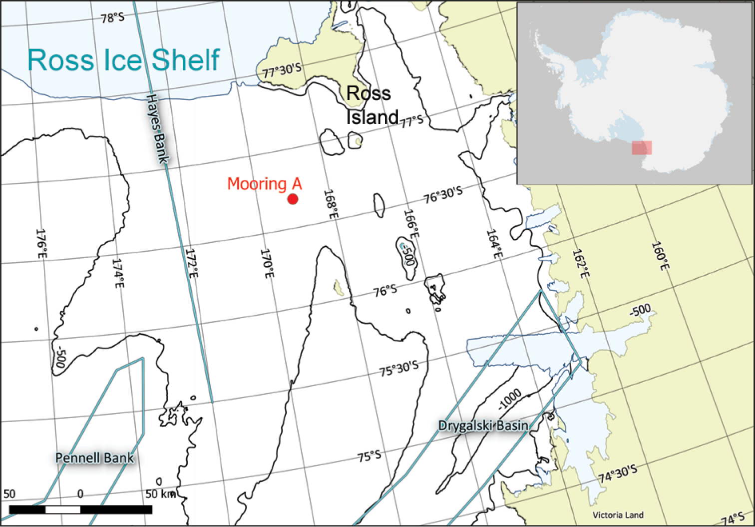
Position of Mooring A in the south-western Ross Sea. The bathymetric contour levels were produced using the dataset provided by the International Bathymetric Chart of the Southern Ocean, IBCSO (Arndt et al. 2013) and the QGIS 2.14 software package. |
|
||||||||
| Part of: Chiarini F, Ravaioli M, Capotondi L (2019) Interannual variability of vertical particle fluxes in the Ross Sea (Antarctica). In: Mazzocchi MG, Capotondi L, Freppaz M, Lugliè A, Campanaro A (Eds) Italian Long-Term Ecological Research for understanding ecosystem diversity and functioning. Case studies from aquatic, terrestrial and transitional domains. Nature Conservation 34: 417-440. https://doi.org/10.3897/natureconservation.34.30732 |