|
||
|
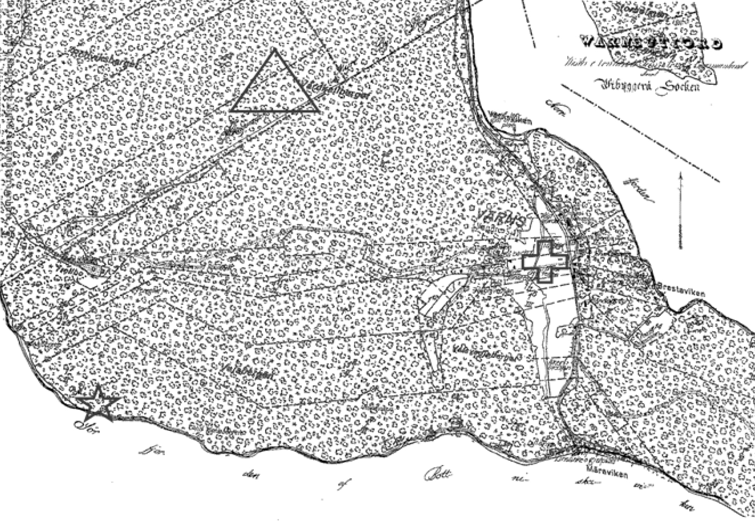
Old map from one rocky pine site. Map of Vårdkallberget (VB) from 1851, which shows the classification of the nutrient poor rocky pine forests around the hill-top (marked with a triangle) as “general forest land” and the nearby settlement (marked with a plus sign). Two remnants of tar pits are marked with a star. The widest distance from east to west is approximately 2 km. |