|
||
|
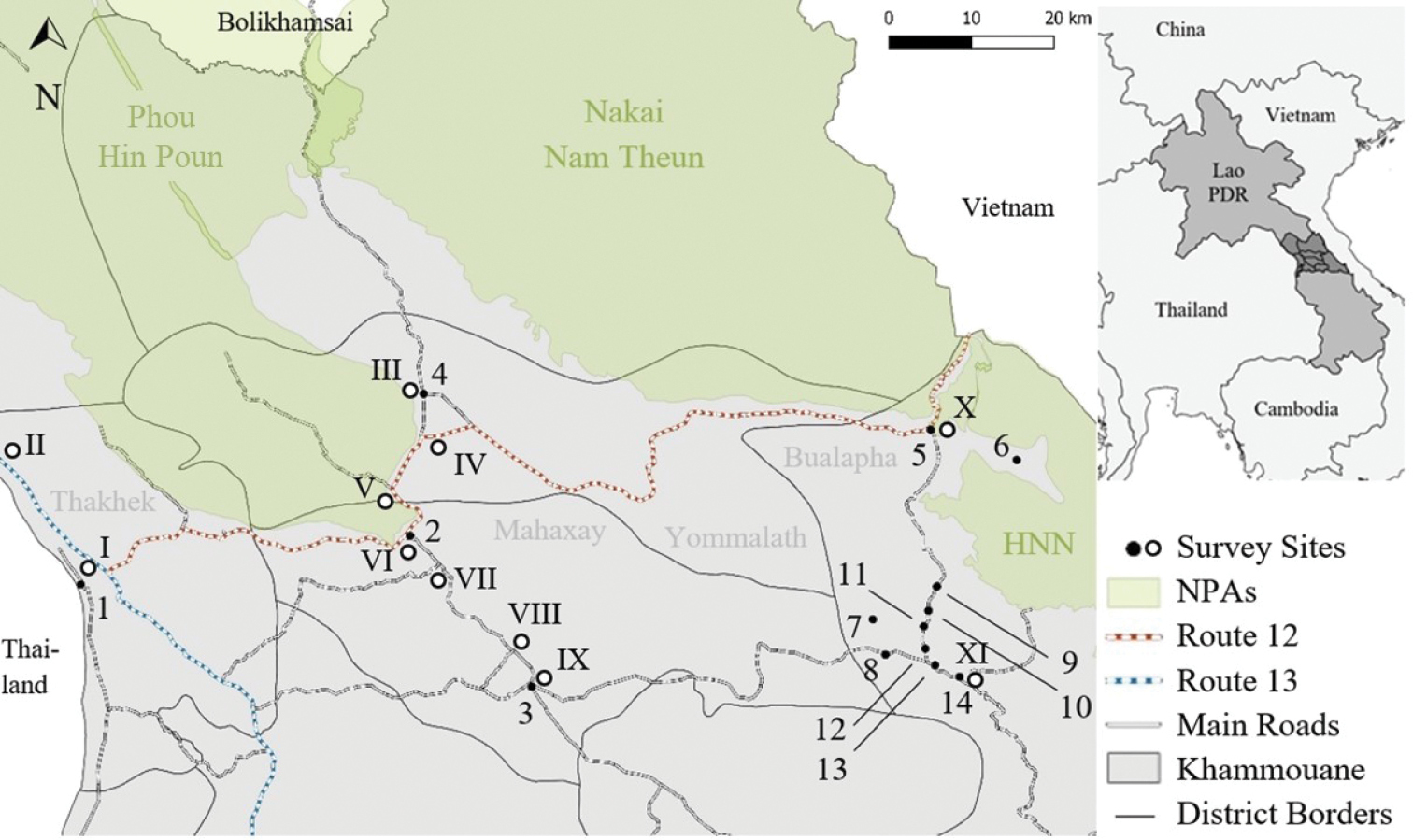
Map of Khammouane Province showing the locations of the household (black, 1–14) and market (white-filled, I–XI) survey sites. Source: Own map, compiled using self-collected GPS data and open source shapefiles (‘Laos protected areas and heritage sites’ by Open Development Laos (CC-BY-SA); ‘Laos-Admin Boundaries’ provided by Office for the Coordination of Humanitarian Affairs. |