|
||
|
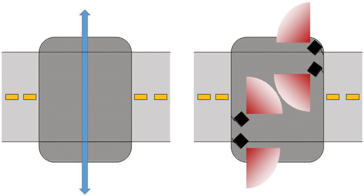
Display of layout for monitoring of human and animal activity by cameras in eight underpasses below Highway 10 East. The grey crosshatched rectangles indicate the underpass structure. The blue arrow suggests the theoretical path of movement through the underpass to cross below the highway. The four black boxes represent the Reconyx Hyperfire HC600 motion and infrared detection cameras. The range of detection for each camera extends to roughly 60 feet and is represented by the red arcs. |